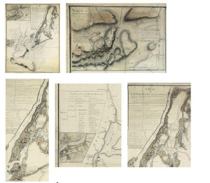
A US revolutionary war map from the original surveys of Charles Blaskowitz is to be sold as part of Christie's Fine Printed Books and Manuscripts Including Americana auction, which is to be held on December 7 in New York.
 Blaskowitz attained the rank of captain for his efforts during the war |
A campaign headquarters map produced for the British, it depicts what was until that point the largest battle ever fought on the North American continent: the Battle of Long Island. It is expected to see bids in the region of $700,000-$1m at Christie's, as one of only five of its kind showing the New York region.
Considered one of the most important manuscript maps of the American revolutionary war, the map documents the key battles and skirmishes that occurred during the British Army's New York campaign from August to December 1776. A variety of symbols show the placement of American, British and Hessian forces.
The map is the only known example to be based on the original surveys of Charles Blaskowitz, who was one of the most prominent members of Samuel Holland's group of surveyors. Holland and his men worked on the north eastern coast of what would become the United States, both before and during the war.
The majority of American revolutionary war maps are currently held in British and US institutions, with American Book Prices Current stating that no examples of Blaskowitz's manuscript maps have appeared at auction in the last 50 years. Remarkably, Christie's will offer another Blaskowitz map - this time of the Philadelphia campaign - in the same sale, with an estimate of $300,000-500,000.
Paul Fraser Collectibles is currently offering the most important revolutionary war document - the American Declaration of Independence. Originating from the Peter Force printing in 1848, the copy is one of just 250 known to exist.


