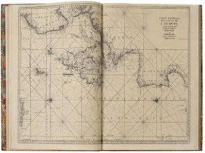
A French atlas regarded as the first to render France's coast geometrically exact, The Neptune, is going up for sale in Paris.
The Neptune was an official undertaking initiated by Jean-Baptiste Colbert, King Louis XIV's French minister of finance from 1665-1683.
The project brought together mathematicians and astronomers of the Academy of Sciences, surveyors, and engineers of the Navy.
 The Neptune features the work of various mathematicians and astronomers |
The first edition was issued in 1693, in three versions across the year for England, France and the Netherlands.
When this second edition reprint arrived in 1753, various corrections and supplementations were added to its maps and Navy-related plans (carefully filed back in 1693).
This second edition also features "critical examination" by Jacques-Nicolas Bellin, the noted French geographer and intellect, after receiving approval from the Naval Academy.
The book will be sold by Alde Auctions in Paris France on Thursday, May 27. It carries a pre-auction estimate of €15,000-20,000.
- More news on Books & Manuscripts
- Enjoy the read? Don't forget to sign up for your free newsletter with exclusive content


